

A tropical wave approaching Barbados remains disorganised, and are no tropical storm watches or warnings in effect associated with this system at this time.
The Barbados Meteorological Services (BMS) continues to closely monitor the wave located around 54/58W (290 miles/500 km ESE of Barbados) at 11 a.m. today.
This feature has remained relatively disorganised over the past 12 hours as dry air and unfavorable upper-level winds continue to significantly impact its development of the system. There is no possibility of tropical cyclone development as it affects Barbados.
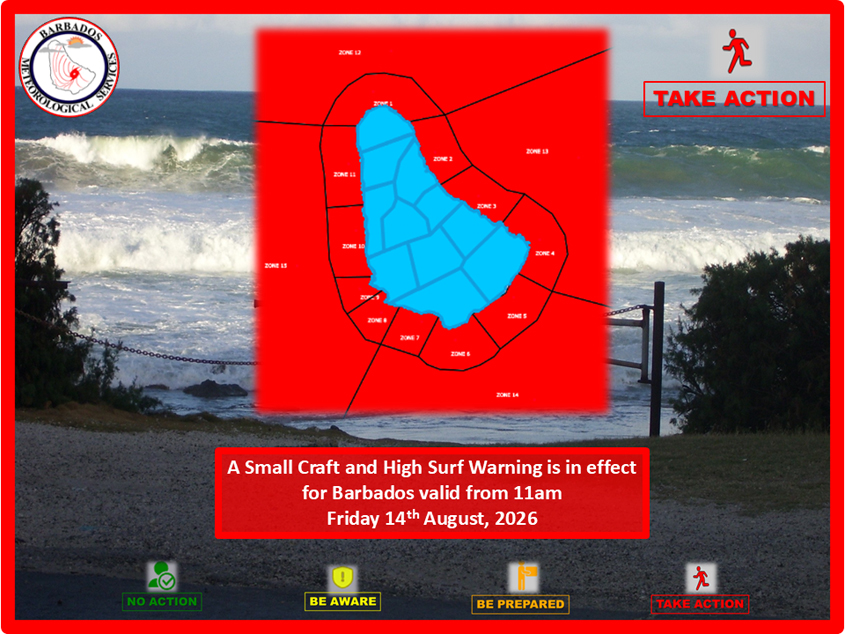
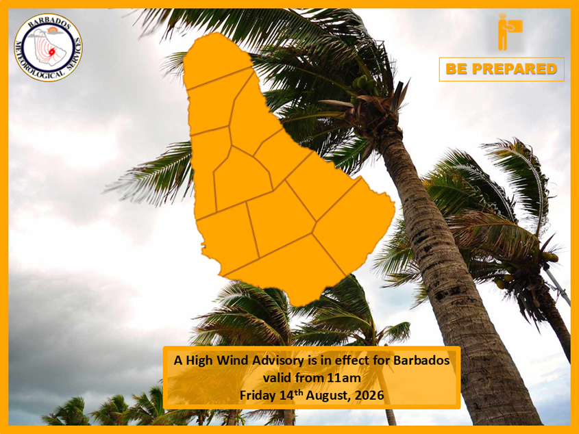
However, a high wind advisory as well as a small craft and high-surf warning remains in effect for the island.
Windspeed across Barbados and its marine space have increased today. These strong winds are generating choppy sea conditions along the coastlines and in open water. Additionally, swell heights have increased as a direct result of these winds and are forecast to further deteriorate into tonight.
Sea conditions are currently 2.5 to 3.0m and are expected to further deteriorate to 2.5 to 3.5m in open water tonight and into Saturday. Additionally, wind speeds between 25 and 30 knots are expected to persist today, increasing tonight to 30 to 35 knots.
The approaching tropical wave is generating winds of 25 to 30 knots (45 to 55 km/h) with gusts of up to 37 knots recorded during the morning. As the axis of the waves traverses the island overnight, winds will remain strong from 25 to 33 knots (45 to 60 km/h),
with higher gusts, especially during moderate to intense shower activity. As the wave moves westwards, a gradual reduction in wind speeds
is expected on Sunday.
Additionally, cloudiness and showers will begin to gradually increase late this afternoon with peak shower activity expected tonight into tomorrow, Saturday. A general reduction in impacts is expected Saturday night into Sunday, however, excess rainfall and thunderstorms could result in flash-flood and severe thunderstorm watches or warnings being issued in association with this tropical wave.
A second tropical wave is located near 36W (1390 miles/2500km) east of Barbados in the eastern Atlantic and is expected to be in a marginally conducive environment as it tracks westwards over the next few days.
Residents are advised to monitor the BMS. (PR/SAT)